From looking at our country’s history, we have turned towards geography and the features that the UK has.
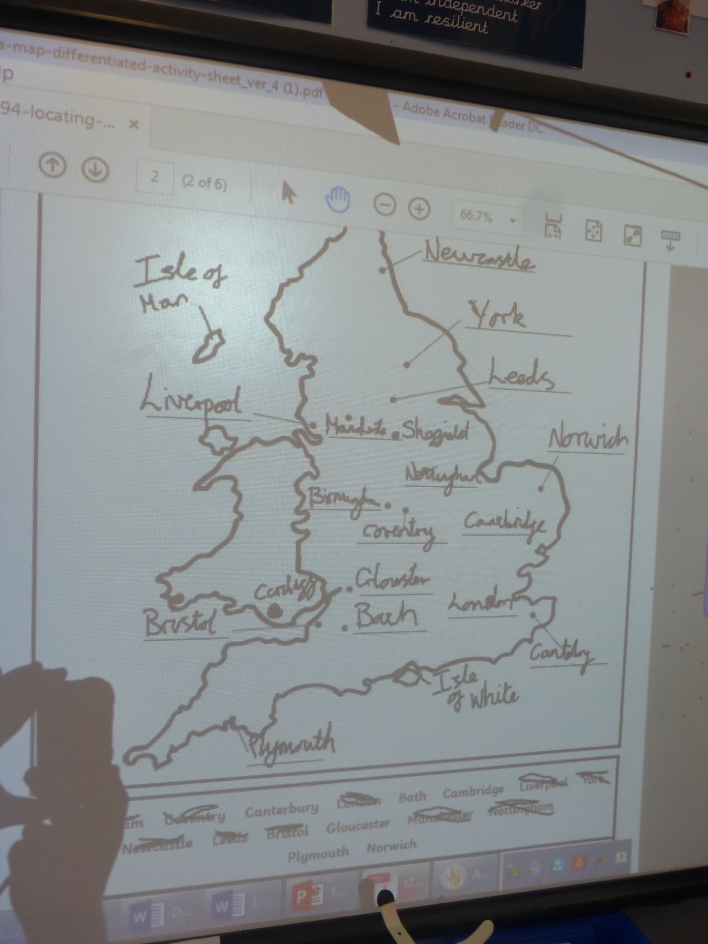
We explored a range of map types and inferred different information from each. From a topographical map to show land height to a rail map and road map.
After discussing features and why certain cities were located in certain places, we all decided to pick a spot for our own city. Here are the results!
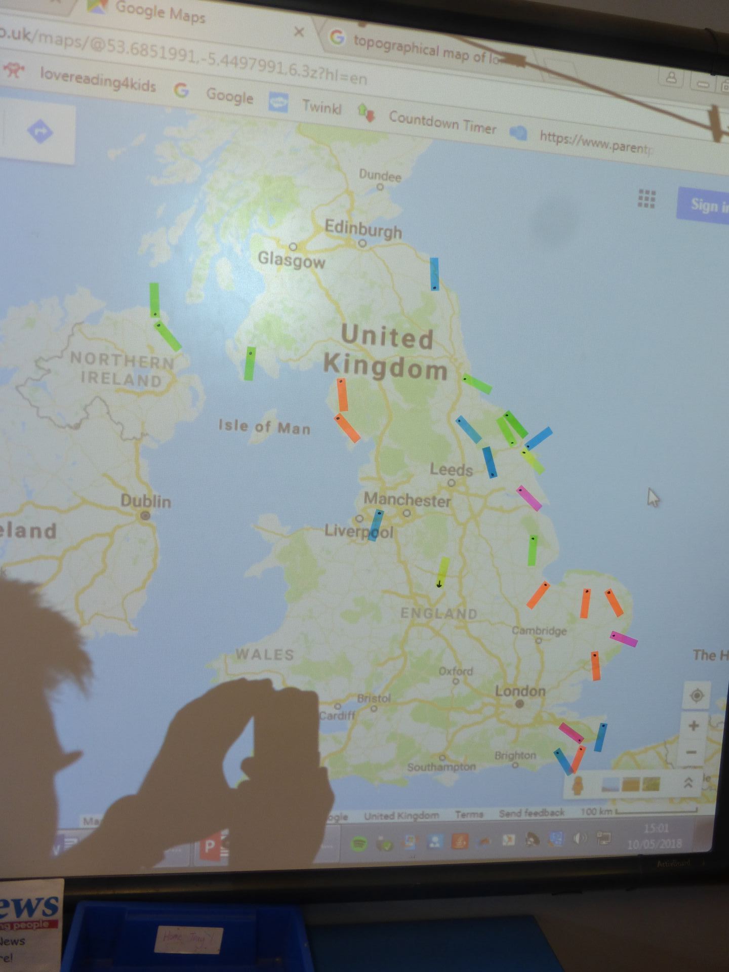
Most people chose to build along the coast line to support trade for their city whilst some stayed inland near roads and airports for the same reasons.